
Elevated Data. Grounded Truth.
Aerial site intelligence, RTK-fixed and proven against independent checkpoints.
Start here
What’s your mission?
Pick what you need to start a quote.


 Aerial photos & video
A home, farm, land, listing or event, shot from above.
Start a quote
 White-label RTK capture
For surveyors and engineers: RTK data captured in your coordinate system and file formats.
Start a quote
Other mapping & data
3D capture, drainage maps, intelligent inventories (like counting and sizing every tree on a tree farm) and hunting land intel: thermal scouting, benches, ridges and travel routes.
Start a quote
Not sure what fits? Describe the project and the right option will be recommended.
Who it's for
Built for the people who build, move, sell and grow on Wisconsin land
Developers & builders
Pre-development assessments, construction progress tracking, time-lapse and marketing media.
Contractors & aggregate
Stockpile volume reports, cut/fill, orthomosaic site maps and progress documentation.
Realtors & landowners
Acreage listing packages, high-resolution aerial maps and property overview imagery.
Farms & agriculture
Field and farmstead maps, drainage maps, grain and silage volumes, crop scouting.
Measured, then verified
Numbers that hold up
Volumes, surfaces and elevations drive billing, design and inventory decisions. Every measurement deliverable is checked against independent ground checkpoints, and the results come with the data.
- 01RTK-positioned flightsEvery image is tied to corrected GPS positions.
- 02Ground control on measurement jobsTargets set and measured on site before processing.
- 03Checkpoint report deliveredHorizontal and vertical accuracy stated, not assumed.
One pilot. Zero guesswork.
One pilot, first call to final file
The person who quotes the site is the person who flies it, processes the data and answers the phone. No hand-offs, no account managers, no getting lost in someone else’s queue.
- Direct lineCall or text the pilot, not a front desk.
- Same pilot, every visitRepeat flights are run the same way, by the same person.
- Quick repliesAnswers within one business day.
From the blog
Field notes
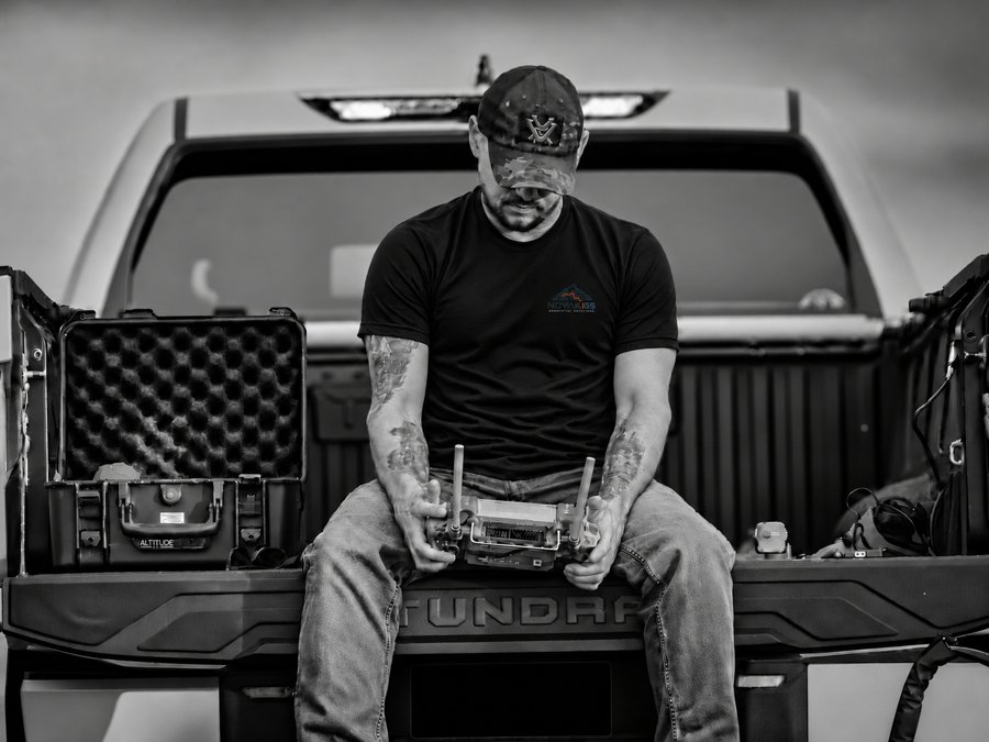 Who's Flying That Drone? What Commercial Drone Work Really Involves
Commercial drone work is a lot less mysterious, and a lot more regulated, than it might look from the ground.
Read the post
Get a quote in about a minute
Tell Novak|GS what you need and where. A reply comes within one business day.
Request a quote- FAA Part 107 certified
- RTK-positioned
- Accuracy-verified